Commodore Whitey Limes – December, 1981
Did you know that there are between 25 and 30 islands in Buckeye Lake? Most of the islands are off the south shore of the lake.
They range from “Neel Island” at the entrance to Thornport Passage at the east end of the lake to “Castle Island” a little northeast of Summerland Beach at the west end of the lake.
Some of the islands are inhabited, at least in the summer season, some are not inhabited at all. Some were used for camping purposes. This is true of “Boy Scout Island,” also known as “Charleston Island.” Why “Boy Scout Island” was finally abandoned is not known to this writer. It could have been the result of lake of maintenance, insectes, or even vanadlism by local marauders.
The largest island in the lake is “Freeman Island” better known as “Harbor Hills.” The greater majority of residents in “Harbor Hills” live on “Freeman Island.”
If you read the first letters of a group of islands starting iwht “Circle Island” just west of “Shell Beach” on the south bank and south west across the lake from BLYC, and if you change the name of “Journal Island” to “Wolfe’s Island” they (the first letters) spell C R O W. The group includes “Circle,” “Round,” “Orchard,” and “Wolfe’s” or “Journal” islands.
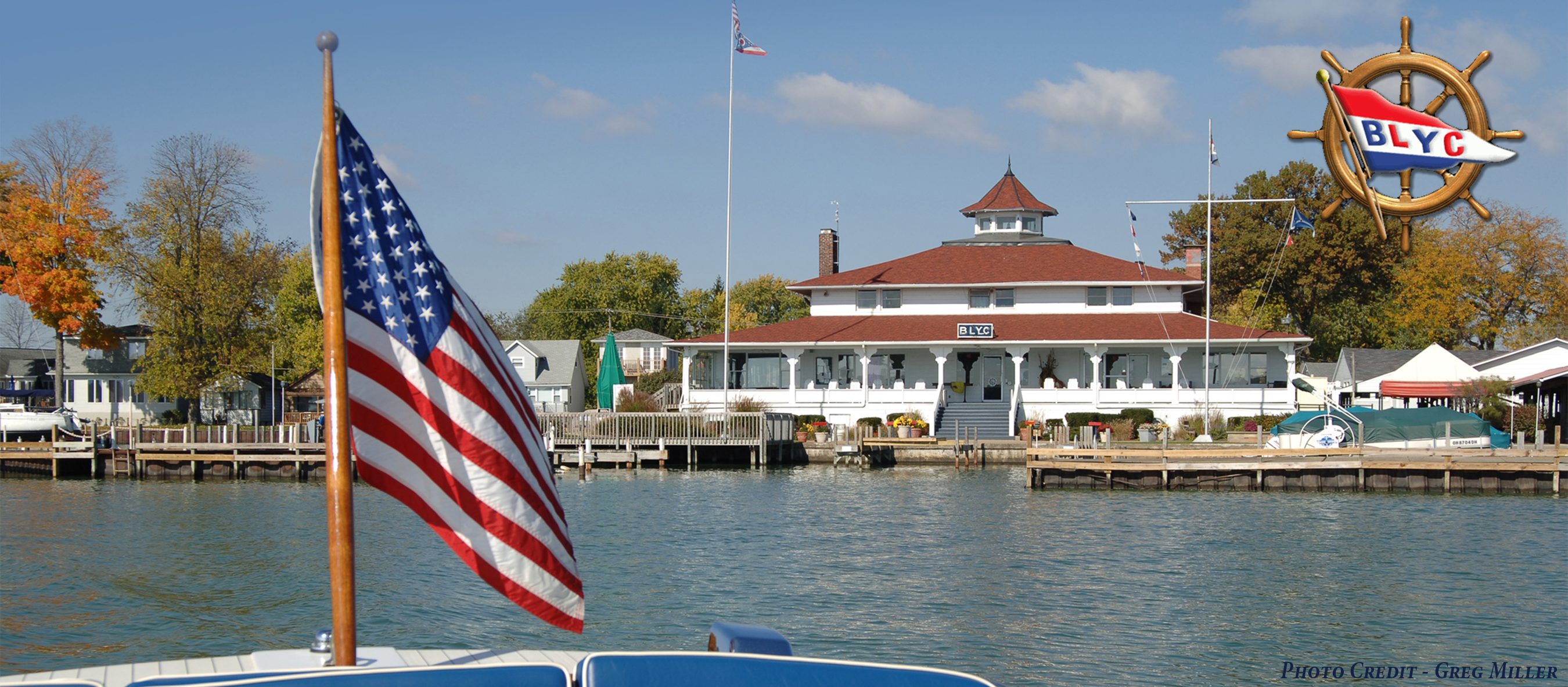
For those members of BLY who do not know it, the club house is erected on “Watkins Island,” which was originally known as “Sunken Island.” It was called “Sunken Island” because in the early days of the lake, during the spring rains, the island would disappear under water.
An interesting note concerning “Onion Island” just east of “Lieb’s Island,” at teh west end of the lake, is that, Captain Eddie Rickenbacker, the World War I air ace spend his honeymoon on “Onion Island.” “Onion Island” is the only one named for a vegetable. Maybe onions grow well on it. Incidentally Lieb is a German word meaning Love.
Four of the islands are named after trees. They are Hickory, Buckeye, Elm, and Beech. You can located them on the large chart of Buckeye Lake on the south wall of “Gob’s Mess.”
Many of the islands are named for people. In all probability the people owned the particular islands, such as, Bope, Patterson, Ridenaur, Sherman, Roberts, Lewis, Gibson, Goble, and Keller.
There is a “Monkey Island,” a “Ducks Island,” and a “Mud Island.” “Mud Island” is located along the west back of the “New Lake.” It is used by the State Park Authority to store heavy equipment such as bulldozers, trucks, cranes, etc.
In the summer, especially during the hot months such as July, August, and early September, floating “Islands” appear in what is known as “Middle Passage” and “Cranberry Basin.” These “islands” are caused by gas from the rotting vegetation which makes up most of the bottom, gathering under clumps of the vegetation and debris and causing it to come to the surface. They can be large or small, but to say the least they are a menace to boat operation since they do not rise very far above the surface.

